
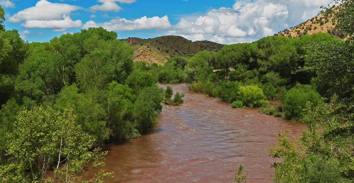
The Gila River flows east to west across Graham County, passing Safford, Thatcher, Pima, Solomon, Fort Thomas, and Bylas on its way through the valley that bears its name. This corridor of water in an otherwise arid region has shaped nearly everything about the Gila Valley — its agriculture, its town locations, and its long history as a route for Indigenous trade and travel long before Arizona became a state. Today, the river continues to support farmland growing cotton and pecans, along with riparian habitat that's increasingly rare in the desert Southwest.
A River Shaped by History and Agriculture
Because reliable water is scarce in this part of Arizona, the Gila River has always determined where people settled and what they could grow. Farms along the valley still depend on the river system for irrigation, and communities like Thatcher and Pima grew up directly along its banks. The river's riparian corridor — the belt of cottonwoods, wetlands, and green vegetation that follows the water — provides critical habitat for birds and wildlife that otherwise have little green space to rely on in the surrounding desert.
Where to Experience It
Several places in the Gila Valley let visitors experience the river up close. East of Safford, the Gila Box Riparian National Conservation Area protects a dramatic stretch where the river narrows into canyon "box" sections between steep walls, offering hiking, birdwatching, and primitive camping. Closer to town, sites like Cluff Ranch Wildlife Area and Roper Lake State Park draw on the broader Gila River water system for their stocked ponds and lakes. Visitors interested in the river's ecology should plan trips for cooler months when riparian wildlife is most active, and should check current conditions with the BLM before visiting more remote stretches like the Gila Box. Because the river ties together so much of the valley's geography, following it from Safford through Thatcher, Pima, Solomon, Fort Thomas, and Bylas offers one of the most complete ways to understand how the Gila Valley's towns, farms, and natural areas relate to one another.